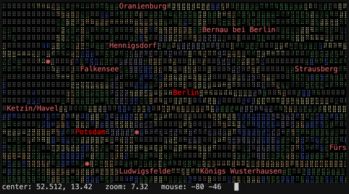
terrascope
Share on:
Enter Your Mastodon Instance
Copy the link below to share to Mastodon
https://terminaltrove.com/terrascope/
Live weather, aircraft, and earthquake layers in a terminal map.
Script Preview
Review this script before executing in your terminal.
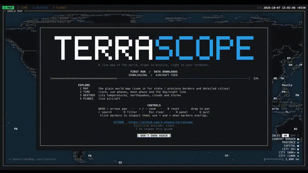

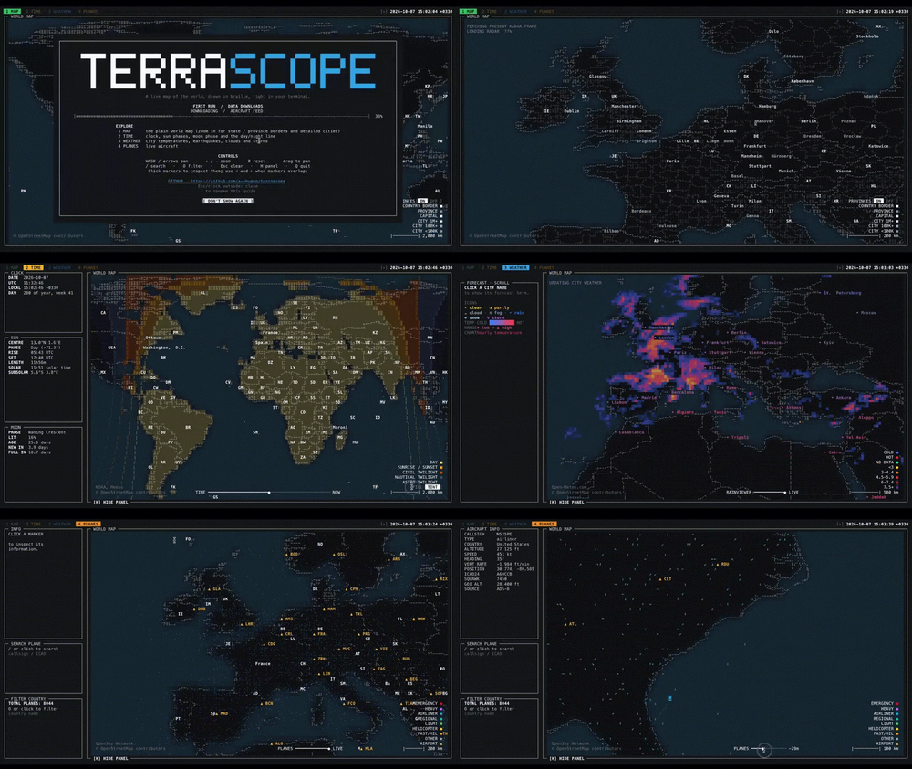
terrascope is an interactive terminal world map with weather, aircraft and earthquake layers all visible inside of your terminal.
It draws country outlines and place labels using braille cells with keyboard and mouse controls for panning, zooming and selecting markers. Separate tabs show forecasts, aircraft positions and trails, or day/night bands with timezone information.
This tool fetches detailed map data into a local cache and reuses it on later runs. It is possible to use it offline to disable live requests and it can use the cache data for optimal performance and fresh weather and aircraft positions depend on the availability of external providers used in terrascope.
For those who enjoy exploring maps, weather and lots of geological information, terrascope suits those exploring geography alongside changing weather and flight activity in the terminal.